 |
since 1997 |
| home contacts how to order staff store terms & conditions |
|
maps
africa antarctica asia - southeast asia australia canada central america europe - france - italy himalaya region middle east new zealand - bird watching maps - city maps - freshmap (digital) - historical maps - map creation - newtopo maps - recreation maps - rural road maps - scratch maps - topographic maps - tramping maps - travel maps pacific islands - roads - topos scandinavia south america uk usa wall maps australia international mural new zealand - map creation - north island - south island scratch maps unusual world books armchair travel mapaholics quirky world atlases children books games globes maps placemats equipment beacons compasses magnifiers accessories for maps map holders rental trackers travel accessories flags new zealand world garmin GPS auto communication fitness handheld mapping for garmin military motorbike tracking wearable globes children's desk educational globes under $100 globes under $300 floor illuminated desk mini national geographic novelty replogle new zealand accessories for maps alpine guide books atlases bathymetry lakes bathymetry sea cycling fauna & flora geology maps & books guide books nautical charts spot x books tramping books |
Recreation Maps of New ZealandAll these maps are $24.90 each.
|
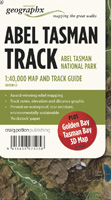 Abel Tasman Track Map
 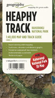 Heaphy Track Map
 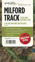 Milford Track Map
 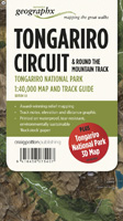 Tongariro Track Map
 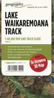 Lake Waikaremoana Track Map
 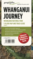 Whanganui Journey Track Map
 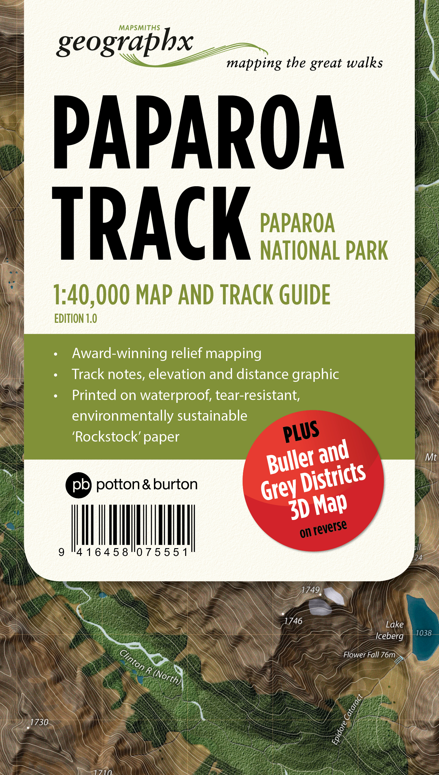 Paparoa Track Map
 |
home contacts links |
how to order store |
All prices are in NZ$ including GST. MapWorld is not liable for any inaccuracies in this information. © MapWorld New Zealand, 2024 |
|