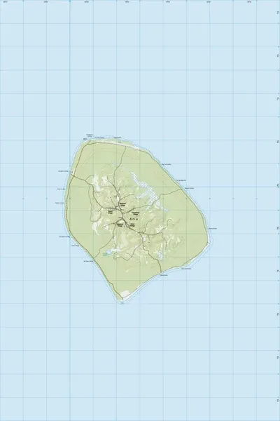
PI15 Atiu
$8
Price incl. GST (15%) $1.04
Size
Please choose
In stock: 3 available
Product details
PI15 Atiu is the official 1:25,000 scale topographic map sheet covering the island of Atiu in the Cook Islands. The map is published by Land Information New Zealand (LINZ) as part of their Pacific Region map series.
Map Details & Features
Scale: 1:25,000.
Topography: Features terrain elevations shown by contour lines at 20-meter intervals.
Visual Information: Color-coded landscape indicators detailing geographic characteristics like forest boundaries, mangroves, road networks, and airports.
Compatibility: Completely GPS compatible. [1]
Revision History: Originally published as Edition 1.00 in 2014 using 2009 imagery. Recent versions include corrections updating local landmarks like Cooks Landing and the local airstrip
PI15 Atiu
Display prices in:NZD