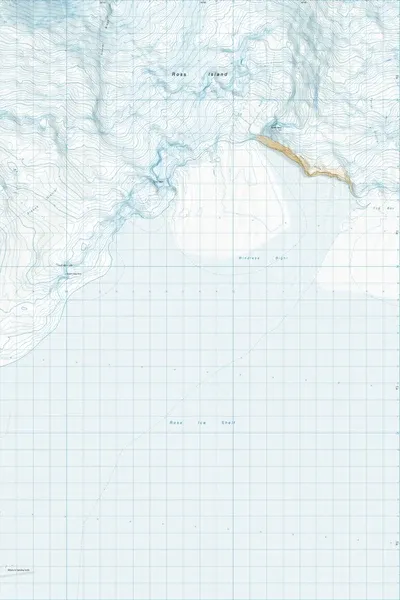
MF14 Windless Bight Antarctica
$8
Price incl. GST (15%) $1.04
In stock: 2 available
Product details
MF14 Windless Bight refers to the official 1:50,000 scale Antarctic Topo50 map sheet produced by Land Information New Zealand (LINZ) for Windless Bight on the south side of Ross Island, Antarctica (77°42′S 167°40′E).
Key Details
Geographic Feature: Windless Bight is a permanently frozen, flat, and featureless ice plain on the northwest edge of the Ross Ice Shelf, located between Castle Rock (Hut Point Peninsula) and Terror Point.
Map Reference: MF14 is part of the LINZ Antarctic Topo50 map series covering the Ross Sea region. You can view or purchase the physical/digital map sheet via suppliers like Mapworld or reference official data through Land Information New Zealand.
Scientific Significance:
- It is home to IS55, an International Monitoring System (IMS) infrasound station used to detect atmospheric nuclear tests under the Comprehensive Nuclear-Test-Ban Treaty, situated about 26 km northeast of McMurdo Station.
- The area is known for anomalous calm air due to atmospheric boundary layer dynamics around Mount Erebus and surrounding volcanic topography
MF14 Windless Bight Antarctica
Display prices in:NZD