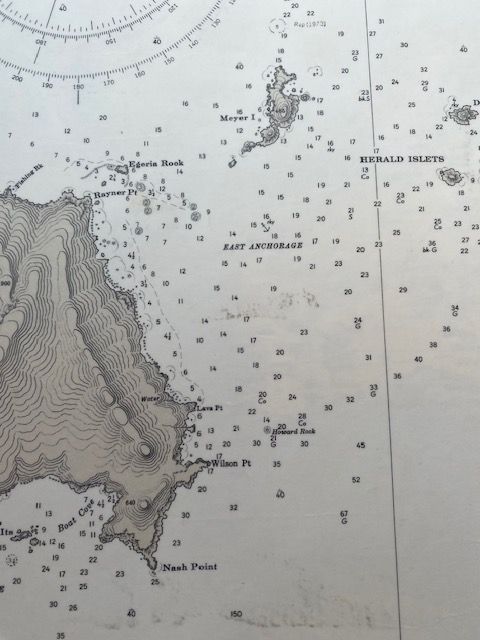
Vintage Sea Chart of Raoul Island 5th Edition 1944 (1968 revision)
$80
Sold out
Price incl. GST (15%) $10.43
Sold out
Product details
The 1944 printing (5th Edition) of the Raoul Island (Sunday Island) nautical chart represents a crucial World War II-era military artifact.
During World War II, the strategically isolated Kermadec Islands became vital for regional defense, leading to a significant historical overlap between allied naval authorities.
1. The Context of the 1944 5th Edition
-
WWII Coastwatchers & Radios:
Between 1937 and 1944, New Zealand established formal aeradio, meteorological, and military coastwatching stations on Raoul Island. Allied forces desperately needed accurate charts because German commerce raiders (like the Orion and Komet) and enemy submarines were operating in the surrounding South Pacific waters. -
The US Government Navy Copies:
To support the Pacific theater campaign, the US Hydrographic Office (US Navy) rapidly reproduced and issued updated variants of Allied regional charts. This explains the availability of vintage 1944 USA Gov't Maps / Hydrographic Charts covering the New Zealand and Kermadec sectors. -
The 1968 and 2001 Connection:
This 1944 "5th Edition" served as the primary wartime baseline. When regional surveys finally resumed after the war, this exact lineage was comprehensively revised in 1968 to fix depth soundings, which ultimately culminated decades later in the 2001 digital/paper transitional editions.
Condition
- Map Dimensions: 84cm x 61cm
- Condition Details: Some visible crease marks and slight discoloring. The map has been laminated to preserve its condition.
Vintage Sea Chart of Raoul Island 5th Edition 1944 (1968 revision)
Display prices in:NZD
