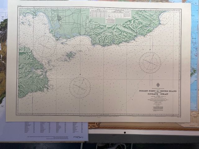
Vintage Sea Chart NZ67 Nugget Point to Centre Island
$100
Price incl. GST (15%) $13.04
In stock: 1 available
Product details
The NZ 67 nautical chart covers the coastal region of the South Island of New Zealand, specifically spanning from Nugget Point to Centre Island, including Foveaux Strait.
Historical & Edition Context
-
Original Publication:
The chart was initially published in January 1952 by the Hydrographic Branch of the Navy Office under the Royal New Zealand Navy. -
The 1975 Edition:
The 1975 edition represents a key historical revision of this hydrographic chart. It was extensively utilized in mid-to-late 20th-century marine research, including foundational studies mapping tidal patterns, waves, and continental shelf sediment transport around southern New Zealand.
Condition
- Map Size: 110cm x 73cm
- Physical Condition:
- Visible crease mark in the center
- Some marks on the back
- Preservation: The map has been laminated to ensure its condition is maintained.
Vintage Sea Chart NZ67 Nugget Point to Centre Island
Display prices in:NZD
