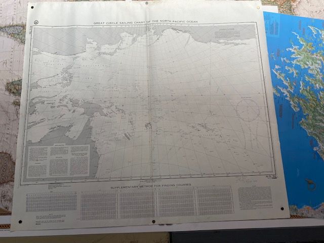
Vintage Sailing Chart of the North Pacific
$25
Price incl. GST (15%) $3.26
In stock: 1 available
Product details
The Great Circle Sailing Chart of the North Pacific Ocean (NGA Chart 56), Edition #38, was officially published on 17 September 1973. Produced by the National Geospatial-Intelligence Agency (NGA, formerly NIMA/DMA), this specialized chart serves as a strategic route-planning tool for international and transpacific mariners.
Core Technical Specifications
- Chart Number: NGA 56 (or 00056)
- Edition Date: 17 September 1973
- Scale: 1:3,500,000
- Dimensions: Sheet size - 102cm x 92cm. Map size 96cm x 64cm
- Projection Type: Gnomonic (frequently used for great circle charts so that the shortest path between two points plots as a straight line)
Navigational Role & Status
-
Sailing Purpose: This chart is intended for broad offshore planning rather than coastal navigation. Because a great circle track represents the shortest distance over a sphere, navigators use gnomonic charts to map long transoceanic voyages before transferring the waypoints to standard Mercator charts for daily steering.
-
Current Status: The original historical chart has officially been cancelled for live navigation purposes.
Has original pencil markings and routes from voyages in the late 1970's, center fold visible. Would look fantastic laminated or framed.
Vintage Sailing Chart of the North Pacific
Display prices in:NZD
