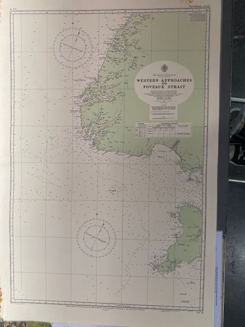
Vintage New Zealand Sea Chart NZ 76 (1975 edition))
$100
Price incl. GST (15%) $13.04
In stock: 1 available
Product details
Chart Overview
- Chart Number: NZ 76
- Title: Western Approaches to Foveaux Strait
- Scale: 1:300,000
- Coverage Area: The body of water separating the southern coast of the South Island from Stewart Island / Rakiura.
History and Later Editions
Following its initial 1964 release, the chart has undergone multiple updates and revisions to ensure accuracy and reflect modern marine surveys and hazards:
- 1975: A provisional updated edition was issued by the Hydrographic Branch.
- 1982: A major new edition was published in October 1982.
Map Condition
- Dimensions: 73cm x 110cm
- The map has a visible fold line and shows rust damage along the outer edge.
- It has been laminated to preserve its condition.
Vintage New Zealand Sea Chart NZ 76 (1975 edition))
Display prices in:NZD
