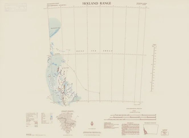
Vintage Antarctic Map - NZMS 166 Holland Range
$26.09
Finish
Please choose
In stock: 3 available
Product details
Date: 1965
By: New Zealand Department of Lands and Survey; Brandon, I. G.
Series: NZMS 166; Sheet SU 56-60, 11
Features:
- Relief shown by hachures and spot heights
- "Provisional edition, 1:250,000"
- Compiled from:
- Ground surveys conducted by New Zealand Geological & Survey Antarctic Expedition 1959-60
- Aerial photography supplied by U.S. Geological Survey
- Includes:
- Locality diagram
- Reliability diagram
Edition: 2nd ed.
Scale: 1:255,901; Polar stereographic projection (E 164°50-E 172°30/S 82°00-S 83°00)
Vintage Antarctic Map - NZMS 166 Holland Range
Display prices in:NZD
