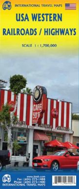
USA Western Railroads / Highways | ITMB 2016
$28
Price incl. GST (15%) $3.65
In stock: 1 available
Product Details
Brand: ITMB
ITMB Map of USA Western - Railroads/Highways
Scale: 1:1,700,000
Travel habits are evolving as younger generations increasingly opt for trains and buses over cars and planes, driven by rising airfares and the growing expense of car ownership. Initially, ITMB considered creating an AMTRAK/VIA Rail map for all of North America. However, the scale required for such a project would have compromised the level of detail, so the focus shifted to creating a map that highlights rail travel across a significant portion of the USA.
Key Features:
- Rail Travel Focus: Passenger rail service lines are prominently displayed, making it easier to navigate train routes across the western USA.
- Highways and Motorways: Major motorways and highways are still included for comprehensive travel planning.
- Touristic Attractions: Points of interest and attractions are marked for travelers exploring the region.
Map Details:
- Double-Sided North-South Layout:
- Side One: Covers from Vancouver south to Red Bluff in California and east to Casper, Wyoming.
- Side Two: Spans from north of Sacramento, California to the Mexican border and from the Pacific shore east to Denver or El Paso.
This updated map offers a better scale than the previous edition while maintaining ITMB's signature attention to touristic detail. It serves as an indispensable tool for modern travelers exploring the western USA by train, car, or bus.
Save this product for later
USA Western Railroads / Highways | ITMB 2016
Display prices in:NZD
