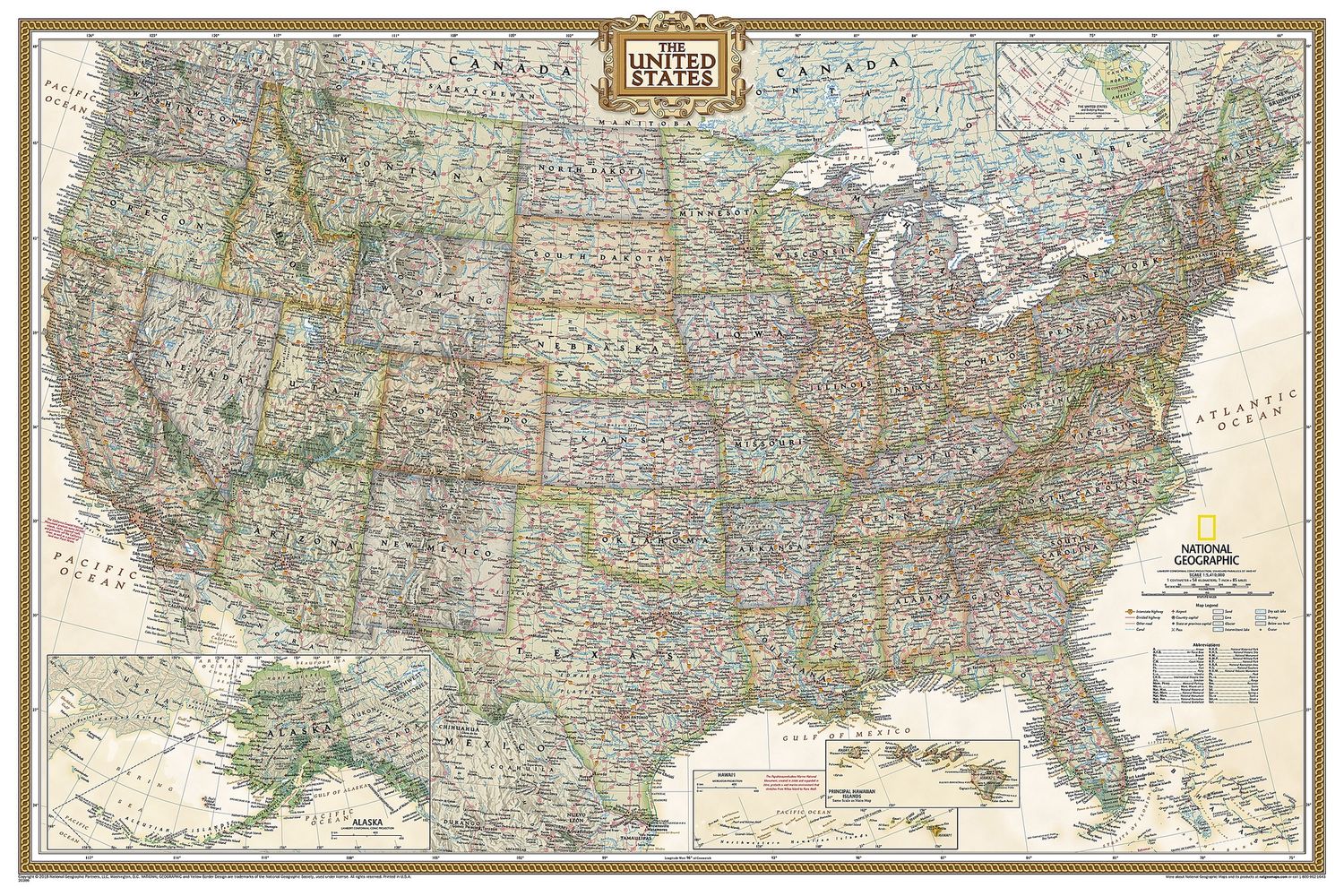
United States Wall Map, Executive · Nat Geo
$50
Price incl. GST (15%) $6.52
Size
Please choose
Finish
Please choose
In stock
Product details
Expertly researched and designed, National Geographic's United States wall map is the standard by which other reference maps of the U.S. are measured.
- Antique-style "executive" colour palette
- All 50 states: Includes insets for the Hawaiian Islands and Alaska, plus an inset showing the relative size of Alaska.
- Clearly defined boundaries: Highlights state and country boundaries, cities, islands, national parks, and physical features.
- Thousands of place names: Carefully and artfully placed to maintain legibility, even in heavily populated areas.
- Background details: Shows mountain ranges and valleys in subtle shaded relief, with mountain ranges labelled.
- Major water bodies: Depicts rivers, lakes, gulfs, bays, straits, and ocean bathymetry.
- Transportation routes: Includes interstate highways, major state routes, airports, waterways, canals, and ferries.
Size
Small 910 x 610 mm
Medium 1100 x 770 mm
United States Wall Map, Executive · Nat Geo
Display prices in:NZD
