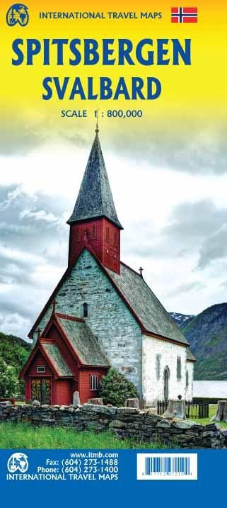
Spitsbergen Svalbard | ITMB 2020
$28
Price incl. GST (15%) $3.65
In stock: 1 available
Product Details
Brand: ITMB
One of the rare Spitzberg maps!
Front Side Highlights
- Explore the extreme Arctic: The front of the map showcases the different islands as a single entity, perfect for planning an adventurous journey in this remote and icy region.
- Uninhabited islands and natural wonders: Most islands are uninhabited and widely covered with ice. Notable areas include:
- Edge Island: A large Nature Reserve.
- Prins Karl Forland: A designated national park.
- Bilingual labeling: Terrestrial zone names are provided in English with Norwegian names in parentheses, ensuring ease of use for both local and international travelers.
Back Side Highlights
- Focus on the extreme north of Norway: This side of the map covers the region from Bodo to Nordkapp, extending east to Norway's border with Russia.
- Additional inclusions: The northernmost parts of Sweden and Finland are also featured, though the emphasis remains on Norway's width and diverse geography.
- Railway representation: Key railway lines are marked with a red/white line, including routes to:
- Narvik (from Sweden).
- Bodo (from Oslo).
Legend Features
The map legend provides a wealth of information, including:
- Museums
- Lighthouses
- Information Centers
- Airports
- Positions
- Schools
- Points of Interest
- Restaurants
- Ports
- Police Stations
This map is an essential tool for anyone planning to explore the unique and rugged landscapes of Spitsbergen and the extreme north of Norway.
Save this product for later
Spitsbergen Svalbard | ITMB 2020
Display prices in:NZD
