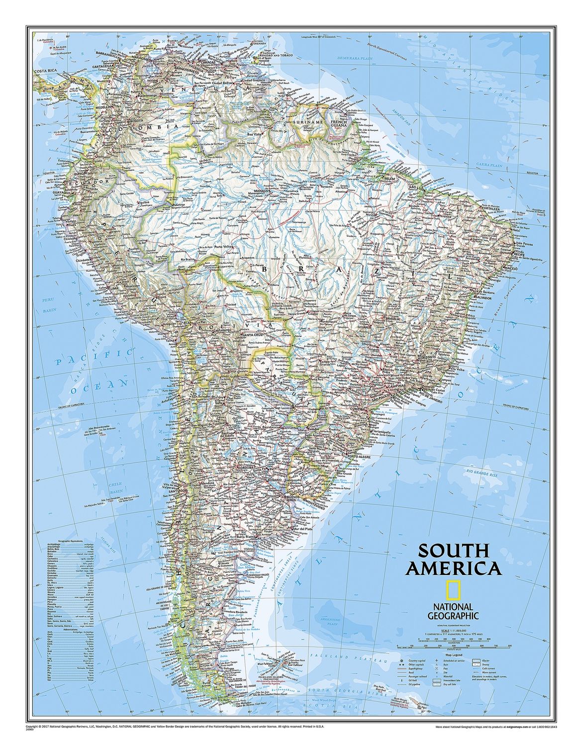
South America Wall Map · Nat Geo
$60
Price incl. GST (15%) $7.83
Finish
Please choose
In stock: 1 available
Product details
From the Isthmus of Panama to the southern reaches of Cape Horn, National Geographic’s wall map of South America combines beauty with function.
Features of the Classic Style Map:
- Bright color palette with blue oceans and stunning shaded relief, a signature of National Geographic wall maps for over 75 years.
- Clearly defined political boundaries and easy-to-read place names, airports, major roadways, and other geographical features.
- Detailed ocean features, including currents, depth curves, and soundings, which add context to the continent’s extensive coastline and the diverse human populations inhabiting those shores.
Coverage Includes:
- Countries: Argentina, Bolivia, Brazil, Chile, Colombia, Ecuador, Guyana, Paraguay, Peru, Suriname, Uruguay, and Venezuela.
- Major cities within these countries.
Flat Size:
59.7 cm x 76.8 cm
South America Wall Map · Nat Geo
Display prices in:NZD
