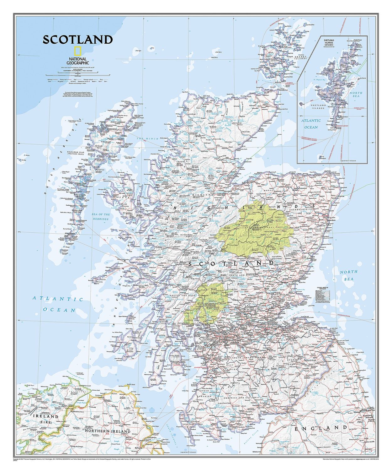
Scotland Wall Map · Nat Geo
$52.17
Sold out
Finish
Please choose
Sold out
Product details
National Geographic’s wall map of Scotland is one of the largest and most detailed maps of the country.
Features of the Map:
-
Classic Style Design:
The map features National Geographic's signature Classic style, with a bright, easy-to-read color palette. It includes blue oceans and stunning shaded relief, a hallmark of National Geographic wall maps for over 75 years. -
Comprehensive Details:
The map includes hundreds of named places such as:- Primary and secondary towns
- Counties
- Political boundaries
- Infrastructure
- Selected historical sites
-
Complete Coverage:
Scotland is displayed in its entirety, including:- The Highlands
- Southern Uplands
- Isle of Skye
- Outer Hebrides
- Inner Hebrides
- Orkney Islands
- Shetland Islands (shown in an inset map)
-
Political Divisions:
The nine political council areas of Scotland are clearly identified for easy reference.
Specifications:
- Size: 760 x 910 mm
Scotland Wall Map · Nat Geo
Display prices in:NZD
