Scotland Map · Collins
$35
Price incl. GST (15%) $4.57
In stock: 1 available
Product details
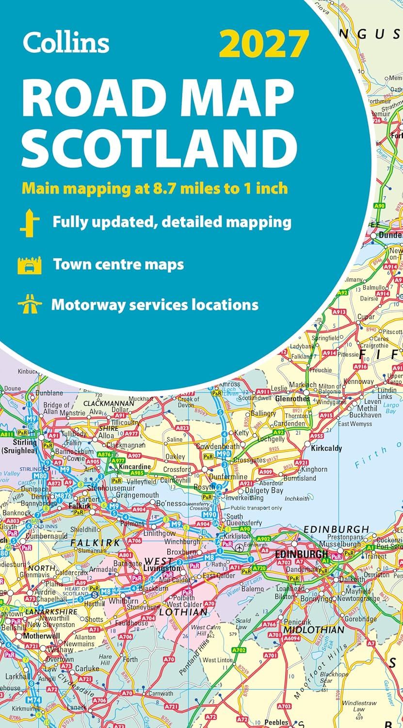
Full-colour map of Scotland at 8.7 miles to 1 inch, featuring a clear road network and administrative areas highlighted in colour. This map conveniently covers the whole of Scotland and part of Northern England on one side, making it ideal for reference or route planning.
Key Features:
- Fully updated with the latest information.
- Administrative areas are clearly shown in colour.
- Detailed road network with road distances for easy route planning.
- Town and city names, rivers, and canals are clearly marked.
- Includes 7 city/town centre street plans showing places of interest.
- Comprehensive index to place names for quick reference.
- Mileage chart to assist with distance calculations.
- Car ferry routes for seamless travel planning.
- Key available in English, French, and German.
This map is a perfect companion for anyone looking to explore Scotland and Northern England with ease and accuracy.
Scotland Map · Collins
Display prices in:NZD
