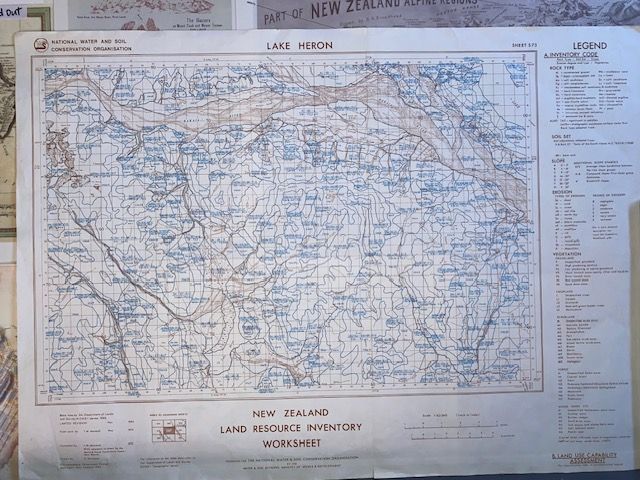
Rare First-Edition New Zealand Land Resource Inventory (NZLRI) Map Worksheet – Sheet S73 (Lake Heron)
$86.96
In stock: 1 available
Product details
Rare First-Edition New Zealand Land Resource Inventory (NZLRI) Map Worksheet – Sheet S73 (Lake Heron)
Condition:
Excellent / Near Mint
- Single clean center fold line only
- No edge wear or markings
Discover a piece of Canterbury’s geographic history
This authentic, first-edition physical copy of the NZLRI Worksheet Map S73 was meticulously compiled by the Ministry of Works and Development. Covering the spectacular Lake Heron Basin in Mid-Canterbury, this map represents a landmark era in New Zealand cartography.
Printed at the historic scale of 1:63,360 (1 inch to 1 mile) using the classic NZMS 1 geographic grid system, copies in this state are incredibly difficult to find.
Key Features
-
Impeccable Condition:
Exceptionally well-preserved. The paper is crisp and clean with just a single, sharp fold line right down the center—perfect for flat-archiving or framing. -
Historic Data Snapshot:
Features the original multi-factor codes mapping rock types, soil units, slope classes, erosion severity, and native vegetation cover across the Canterbury high country. -
Collector’s Appeal:
An exceptional piece of scientific heritage, ideal for high-country landowners, historians, surveyors, or collectors of rare New Zealand cartography.
Secure a tactile, physical record of Mid-Canterbury's Land Use Capability (LUC) boundaries before the transition to modern digital metric grids. A standout addition to any collection.
Rare First-Edition New Zealand Land Resource Inventory (NZLRI) Map Worksheet – Sheet S73 (Lake Heron)
Display prices in:NZD