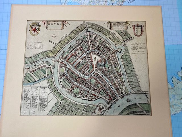
Rare 1649 map of Gouda
$800
Price incl. GST (15%) $104.35
In stock: 1 available
Product details
The 1649 map of Gouda is a famous bird's-eye view city plan engraved by the renowned Dutch cartographer Joan Blaeu for his town atlas Tooneel der Steden. It features the city's medieval canals, defensive walls, the central triangular market square, and the Sint Janskerk.
Original hand coloured
Map size - 49cm x 38cm
Map has been pasted to border, some foxing visible but overall in excellent condition.
Rare 1649 map of Gouda
Display prices in:NZD
