Plenty and Sandover Highways | Westprint
$20
Price incl. GST (15%) $2.61
In stock: 1 available
Product details
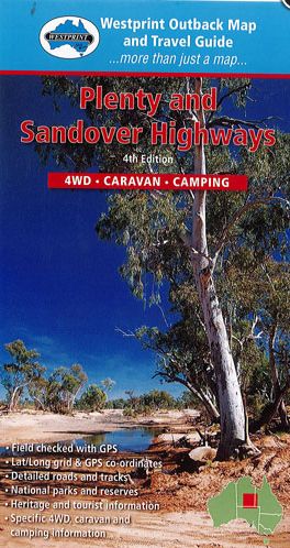
Alice Springs, Mt Isa, and Birdsville are regions rich with vast properties, remote homesteads, and iconic outback pubs. From the mulga woodlands around Gemtree to the spinifex plains and gidgee watercourses further east, this area offers breathtaking views of the Hartz, Jervois, and Tarlton Ranges, contrasting beautifully with the Georgina River channel country in western Queensland. The journey takes you across the flat, treeless Barkly Tableland near Lake Nash and Barkly Downs, before leading to the rugged, stony ranges near Mt Isa.
Key Features:
- Points of Interest: Discover must-see locations along the way.
- Grid Lines for GPS Referencing: Navigate with precision.
- Numbered GPS Locations List: Easily locate key spots.
- Historical and Exploration Information: Dive into the rich history of the area.
- Travel Tips: Includes advice for 4WD, camping, and caravanning.
- Permits and Important Phone Numbers: Essential information for a smooth journey.
This guide ensures you're well-prepared to explore some of Australia's most iconic and remote landscapes.
Plenty and Sandover Highways | Westprint
Display prices in:NZD
