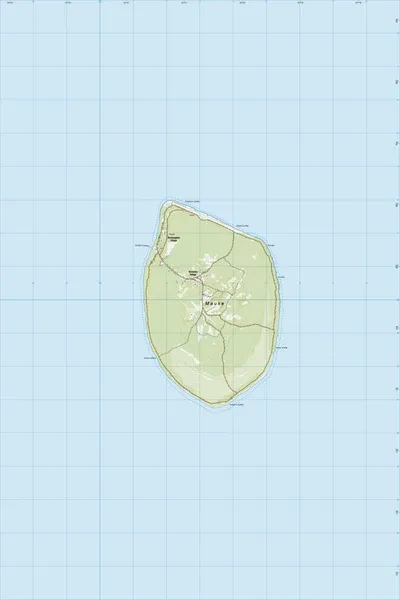
PI19 Mauke
$8
Price incl. GST (15%) $1.04
Size
Please choose
In stock: 2 available
Product details
PI19 Mauke is the specific sheet designation for the official topographic map of Mauke Island (part of the Cook Islands), mapped at a 1:25,000 scale by Toitū Te Whenua Land Information New Zealand (LINZ).
As part of the New Zealand Offshore Island and Pacific Region map series, this high-resolution Topo25 map provides extensive geographical and infrastructure insights for the island:
Key Map Details
- Scale: 1:25,000
- Topography: Features 20-meter contour intervals detailing the island's unique volcanic and makatea (raised coral limestone) landscape.
- Features Included: Extensive coverage of the local road network, dense forestation, coastal mangrove distribution, and critical regional infrastructure.
- Recent Updates: The map sheet documents local infrastructure updates, such as the relocation of the Mauke Hospital and the inclusion of newly verified indigenous place names
PI19 Mauke
Display prices in:NZD