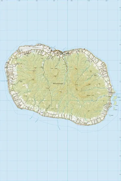
PI12 Rarotonga
$8
Price incl. GST (15%) $1.04
Size
Please choose
In stock: 1 available
Product details
PI12 Rarotonga is the official 1:25,000 scale topographic map of Rarotonga in the Cook Islands, published by Land Information New Zealand (LINZ).
Map Details & Specifications
- Scale: 1:25,000
- Publisher: Land Information New Zealand (LINZ)
- Coverage: Covers Rarotonga, the largest and most populous island of the Cook Islands.
- Features: 20-meter contour intervals for elevation, distinct landscape colors (forest vs. mangroves), road networks, foot tracks, building points, airports, and a 1 km UTM GPS-compatible grid with an English legend
PI12 Rarotonga
Display prices in:NZD