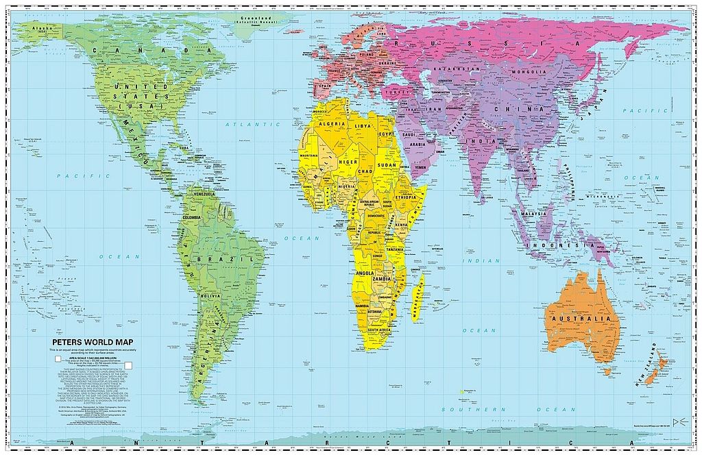
Peters World Map
$40
Sold out
Price incl. GST (15%) $5.22
Finish
Please choose
Sold out
Product details
Maps not only represent the world, they shape the way we see it.
The Peters World Map presents countries in true proportion to one another, correcting the size distortions found on traditional projections like the Mercator. Adopted by the UN, aid agencies, schools and businesses globally, this equal-area map offers a fair and accurate view of our world.
Equal Area
All areas – both land and sea – are shown according to their actual geographic size, allowing for accurate comparisons between continents, countries, islands and oceans.
Equal Axes
Straight, parallel North-South lines (longitude) and East-West lines (latitude) show geographic points in their correct directional relationship and distance from each other.
Equal Representation
Grants every country its true scale and position, rather than inflating the Global North and shrinking the tropics.
In this complex and interdependent world, all people deserve the most accurate possible portrayal of their place in it. The Peters Projection is that map for our time!
Peters World Map
Display prices in:NZD
