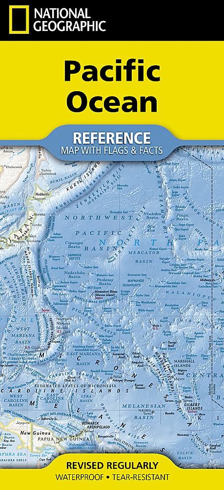
Pacific Ocean Map · Nat Geo
$35
Sold out
Price incl. GST (15%) $4.57
Sold out
Product details
• Waterproof • Tear-Resistant • Reference Map with Flags & Facts
Explore the vast expanse, dynamic seascapes, and diverse islands of the world's largest ocean with National Geographic's Pacific Ocean map, derived from the acclaimed National Geographic Atlas of the World. Combining authoritative geographic information with the renowned precision of National Geographic cartography, this map presents a detailed and visually compelling portrait of the Pacific Ocean, spanning continents and showcasing one of the planet's most significant and expansive regions.
- Created from the trusted cartographic resources of the National Geographic Atlas of the World, the map features National Geographic's signature Classic style with vivid political boundaries, crisp typography, and beautifully rendered oceanic and coastal detail for exceptional clarity and readability.
- Produced from the cartographic resources of the National Geographic Atlas of the World
- Features National Geographic's Classic style with vibrant colors and easy-to-read detail
- Displays islands, major cities, transportation routes, political boundaries, undersea features, and coastal geography
- Includes broader regional context across Asia, Australia, and the Americas
- Provides country and territory facts and statistics including area, population, capital city, GDP per capita, and national flags
- Ideal for reference, education, travel inspiration, or display
The map includes detailed coverage of the Pacific Ocean region, highlighting major island groups, surrounding coastlines, population centers, infrastructure networks, and key geographic features across this immense ocean basin.
Beautifully designed and richly informative, the Pacific Ocean Map combines accuracy, artistry, and geographic insight in a format perfect for classrooms, offices, libraries, and home collections.
- Map Scale = 1:37,500,000
- Sheet Size = 18.5" x 24.25"
- Folded Size = 4.25" x 9.25"
Pacific Ocean Map · Nat Geo
Display prices in:NZD