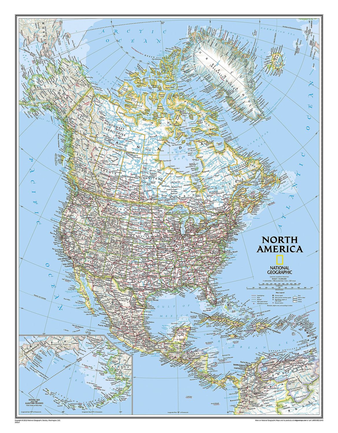
North America Wall Map · Nat Geo
$60
Price incl. GST (15%) $7.83
Size
Please choose
Finish
Please choose
In stock: 1 available
Product details
From the far northern reaches of the Arctic Sea to the Isthmus of Panama, this Classic style political map of North America features trademark National Geographic detail and accuracy.
The bright colour palette includes blue oceans and stunning shaded relief, a signature of National Geographic wall maps for over 75 years. Political boundaries are clearly defined, and place names, airports, major roadways, and other geographical features are easy to read.
Coverage
In addition to Canada, the United States, Mexico, and Central America, this map also includes:
- Iceland
- Greenland
- The island nations of the Caribbean
- Venezuela
- Most of Colombia
An inset map highlights the Aleutian Islands off the coast of Alaska.
Size Options
- Small: 600 x 770 mm
- Large: 910 x 1170 mm
North America Wall Map · Nat Geo
Display prices in:NZD
