United States Wall Map · Nat Geo
$60
Price incl. GST (15%) $7.83
Size
Please choose
Finish
Please choose
In stock: 1 available
Product Details
Brand: National Geographic
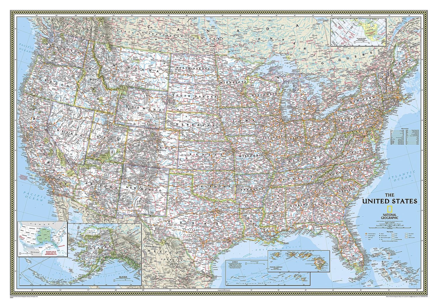
Expertly researched and designed, National Geographic's United States wall map is the standard by which other reference maps of the U.S. are measured.
- Signature Classic styling: Features a bright, easy-to-read colour palette with blue water and colourful state borders.
- All 50 states: Includes insets for the Hawaiian Islands and Alaska, plus an inset showing the relative size of Alaska.
- Clearly defined boundaries: Highlights state and country boundaries, cities, islands, national parks, and physical features.
- Thousands of place names: Carefully and artfully placed to maintain legibility, even in heavily populated areas.
- Background details: Shows mountain ranges and valleys in subtle shaded relief, with mountain ranges labelled.
- Major water bodies: Depicts rivers, lakes, gulfs, bays, straits, and ocean bathymetry.
- Transportation routes: Includes interstate highways, major state routes, airports, waterways, canals, and ferries.
Size
Small 910 x 610 mm
Medium 1100 x 770 mm
Large 1760 x 1220 mm
Save this product for later
United States Wall Map · Nat Geo
Display prices in:NZD
