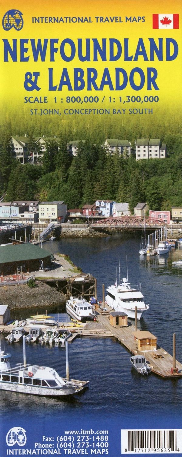
Newfoundland & Labrador (Faded Cover) | ITMB 2020
$17.39
In stock: 2 available
Product details
Road Map Newfoundland & Labrador
Britain’s oldest colony evolved into Canada’s newest province in 1949. The island now called Newfoundland was first settled by Norsemen exploring westward from Iceland, somewhere around 1000 AD — some four centuries before a certain Johnny-come-lately named Columbus discovered the Caribbean. L’Anse aux Meadows, located at the northern tip of the island, is a historic site that can still be visited today.
- Historical Highlights:
- Bristol fishermen used the island as a base long before the first ‘explorer’ arrived in 1534.
- St. John’s, the capital, was founded in 1604, making it the second oldest city in North America.
- The island is renowned for its historic fishing villages.
As an added bonus, the map also includes the French territory of St. Pierre et Miquelon, accessible via ferry from Grand Bank. Newfoundland itself can be reached by ferries from Nova Scotia (approx. 6 hours) and from Labrador.
Labrador: A Vast and Remote Region
The second side of the map showcases Labrador, the extremely large and remote portion of the province. Key features include:
-
Road Connections:
- Basic road networks now connect Labrador to Newfoundland at two points.
- Travel is possible across Labrador from Goose Bay to Labrador City, with an onward link to Sept-Îles in Quebec.
-
Accessibility:
- Much of Labrador remains accessible only by air and coastal steamer.
- The extreme far north of Labrador has been ceded to Nunavut, which maintains a small community on Ungava Bay.
Features of the Map
-
Comprehensive Details:
- Road and rail networks displayed on a clear base.
- National and regional parks, as well as wildlife reserves, are prominently marked.
- The Trans Canada Trail is highlighted.
-
Symbols and Boundaries:
- Symbols indicate various places of interest, sports, and recreational facilities.
- National, provincial, and time zone boundaries are clearly displayed.
-
Historical Insights:
- Historical information is provided along the map’s outer edges.
- A timeline of the province’s history, dating back to the 11th century, is included in a small box.
This map is an essential guide for exploring both the rich history and the stunning landscapes of Newfoundland & Labrador!
Newfoundland & Labrador (Faded Cover) | ITMB 2020
Display prices in:NZD
