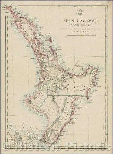
New Zealand - North Island, 1860 ca | Historical Map Print
$65
Sold out
Price incl. GST (15%) $8.48
Finish
Please choose
Sold out
Product details
This map, titled "New Zealand, North Island, New Ulster or Eaheinomauwe", was created by John Dower in 1863. It offers a detailed representation of New Zealand's North Island, also known during that period as New Ulster or Eaheinomauwe. The map is part of "The Dispatch Atlas", published by the Weekly Dispatch in London.
Key Features:
- Printed on thick heavyweight matte art paper
- Dimensions: 37cm x 48cm
New Zealand - North Island, 1860 ca | Historical Map Print
Display prices in:NZD
