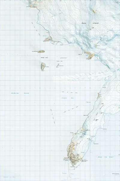
MF13 Hutt Point Peninsula Antarctica
$8
Price incl. GST (15%) $1.04
In stock: 1 available
Product details
MF13 Hut Point Peninsula is an official 1:50,000 scale topographic map (
ANTTopo50-MF13) of Hut Point Peninsula on Ross Island, Antarctica, published by Land Information New Zealand (LINZ).
Map and Geographic Details
Scale: 1:50,000 topographic map series (
ANTTopo50-MF13)
Coverage: Covers Hut Point Peninsula, a narrow 17-mile-long (27 km) volcanic peninsula projecting southwest from Mount Erebus on Ross Island
Key Landmarks on the Map:
- McMurdo Station (US) and Scott Base (NZ)
- Discovery Hut (historic expedition hut built in 1902 by Robert Falcon Scott)
- Vince's Cross (historic memorial monument)
- Geological and geographic features including Arrival Heights, Castle Rock, Observation Hill, and Winter Quarters Bay.
Publisher: Land Information New Zealand (LINZ) as part of the Antarctic Topo50 map series
MF13 Hutt Point Peninsula Antarctica
Display prices in:NZD