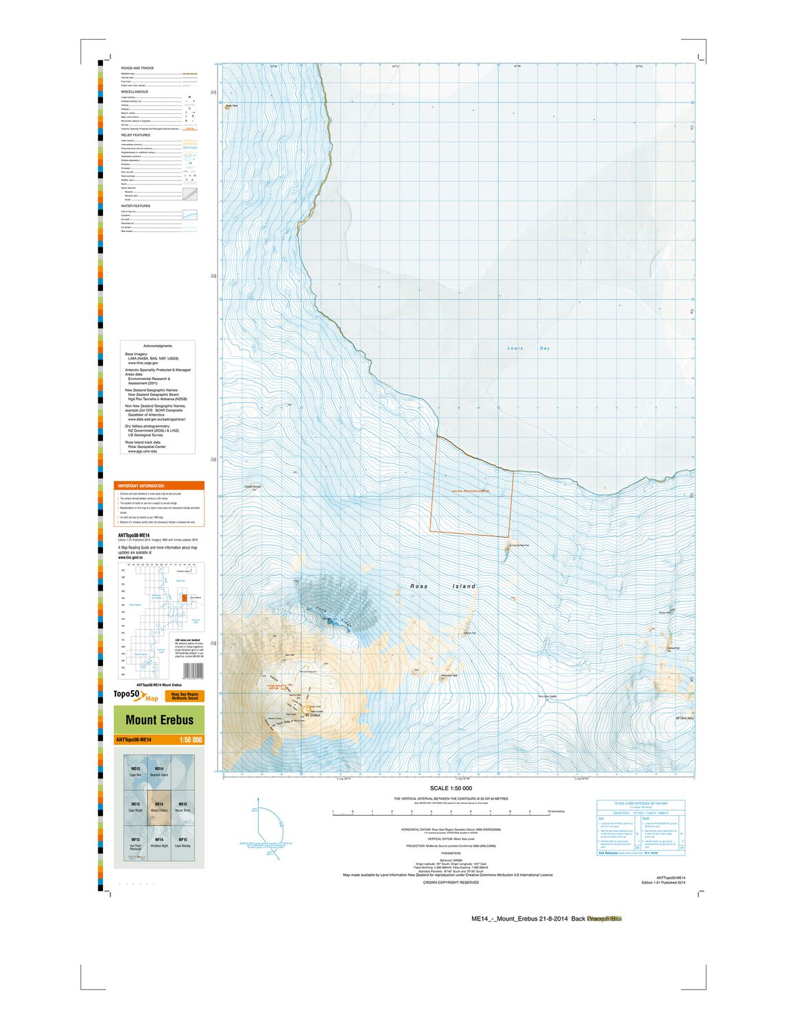
ME14 Mt Erebus Antarctica
$8
Price incl. GST (15%) $1.04
In stock: 1 available
Product details
ME14 - Mount Erebus is an official topographic map sheet from the LINZ Antarctic Topo50 Map Series published by Land Information New Zealand (LINZ).
Key Details
Map Designation: ME14
Subject: Mount Erebus, the southernmost active volcano on Earth, located on Ross Island in Antarctica
Elevation & Scale: Covers the stratovolcano reaching 3,792 metres (12,441 ft)
Datum & Projection: Uses the Ross Sea Region Geodetic Datum 2000 (RSRGD2000) and McMurdo Sound Lambert Conformal 2000 (MSLC2000) projection
ME14 Mt Erebus Antarctica
Display prices in:NZD