Madagascar | ITMB 2019
$28
Price incl. GST (15%) $3.65
In stock: 1 available
Product Details
Brand: ITMB
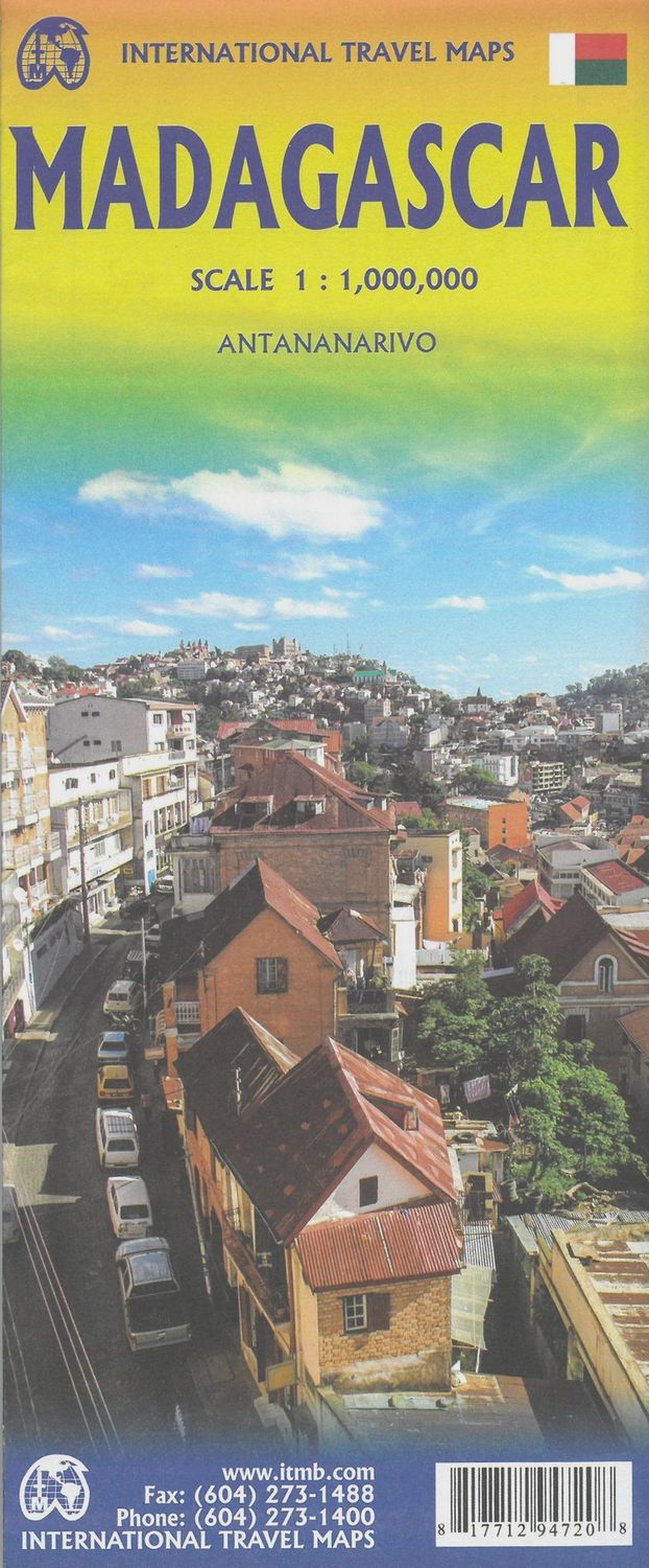
The large island off the east coast of Africa is Madagascar. The actual name of the country is the Malagasy Republic, but the public is much more likely to know the country by its island name. So, we call our map by the island’s name rather than using the country name. Makes sense to us!
Regardless, this is a major touristic destination. The double-sided map covers the island in great detail and includes:
- An inset map of the capital city, Antananarivo.
- A listing of ‘must-see’ attractions, such as:
- Tsingy National Park
- The famous Lemur’s Park
Additionally, the island has a regular surface route to the Comoro Islands, which are also included on this map.
Save this product for later
Madagascar | ITMB 2019
Display prices in:NZD
