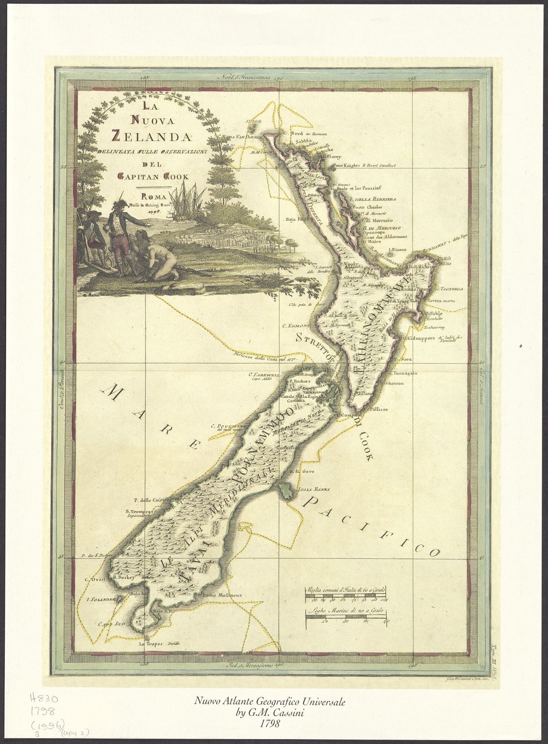
La Nuova Zelanda 1798 - Capitan Cook
$50
Sold out
Price incl. GST (15%) $6.52
Finish
Please choose
Sold out
Product details
La Nuova Zelanda delineata sulle osservazioni del Capitan Cook 1798
Copy printed on heavy weight art paper
Description
Facsimile of an original map showing the islands of New Zealand as charted during Cook's 1st voyage. Includes:
- Decorative cartouche
- Scale bars
- Illustrations showing the route of Captain Cook's 1st voyage
Relief shown pictorially.
History / Biography
The original map appeared in Volume 3 of: Nuovo atlante geografico universale delineato sulle ultime osservazioni (Tom. I, II, III). Roma, presso la Caleogr. Camerale, (MDCCXCII, MDCCXCVII, MDCCCI) / Gio. Ma. Cassini.
The facsimile originally appeared as Plate 25 within: Historic Charts & Maps of New Zealand: 1642-1875 / Peter B. Maling. Plate 25, facing p. 70.
Inscription
Printed note at the bottom centre of the page reads:
"Nuovo Atlante Geografico Universale by G.M. Cassini 1798."
La Nuova Zelanda 1798 - Capitan Cook
Display prices in:NZD
