Korean Peninsula Wall Map · Nat Geo
$60
Sold out
Price incl. GST (15%) $7.83
Finish
Please choose
Sold out
Product details
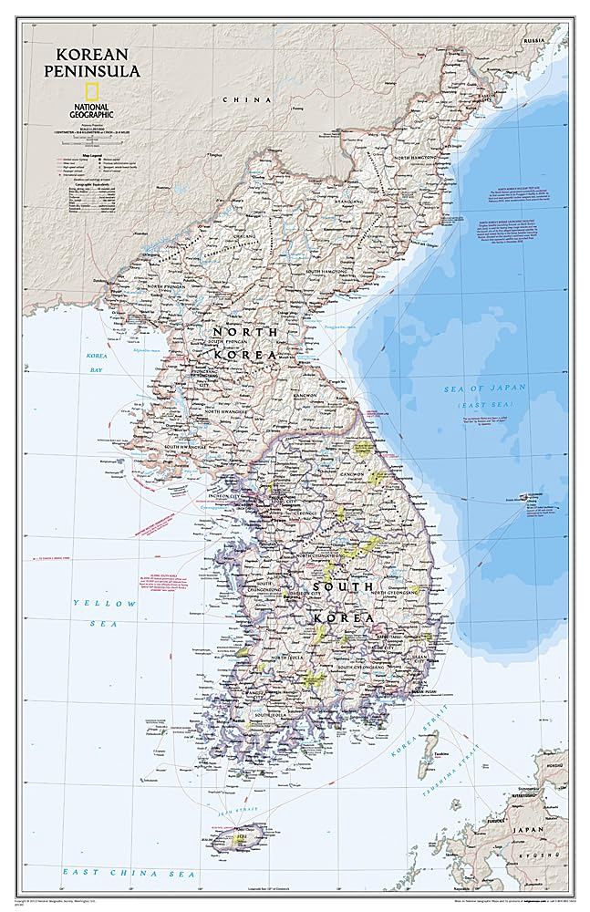
Amid increasingly combative rhetoric from Pyongyang, North Korea, do you know where its underground nuclear test site or missile launch centers are located? Are you aware that the South Korean government has begun a program to move its federal offices and personnel from Seoul to a new location? National Geographic's Korean Peninsula map provides this and much more information about this conflicted peninsula.
Key Features of the Korean Peninsula Wall Map:
-
Expertly Depicted Terrain:
The peninsula's rugged terrain is presented in stunning shaded relief, showcasing the elevation of prominent mountains and ocean depths in meters. -
Authoritative Mapping:
This map is one of the most authoritative depictions of the Koreas, clearly portraying both countries and using the latest system for transcribing South Korean place-names from the Korean alphabet. -
Detailed Administrative Divisions:
It delineates the latest administrative divisions of both countries, along with the July 27, 1953 Military Demarcation Line—the historic boundary between North and South Korea. -
Comprehensive Transportation Grid:
The transportation networks of both countries are thoroughly portrayed, including South Korea's high-speed passenger railway network.
Design and Style:
The signature Classic style map features:
- A bright, easy-to-read color palette with blue oceans.
- Stunning shaded relief, a hallmark of National Geographic wall maps for over 75 years.
Specifications:
- Map Scale: 1:1,357,000
- Sheet Size: 59.05 cm x 90.81 cm
This map is an indispensable resource for anyone seeking to understand the geography and geopolitical significance of the Korean Peninsula.
Korean Peninsula Wall Map · Nat Geo
Display prices in:NZD
