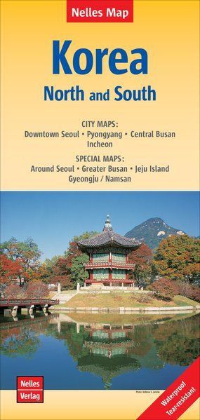
Korea North and South | Nelles Map
$25
Price incl. GST (15%) $3.26
In stock: 1 available
Product details
The Korean Peninsula, encompassing both North and South Korea, is depicted at a 1:1,500,000 scale on this Nelles Verlag map. Its compact, double-sided format makes it especially convenient for travel. The map divides the region into north and south sections, with a generous overlap between the two sides for seamless navigation.
Key Features:
-
Topography:
Relief shading with spot heights and mountain range names clearly presents the terrain. -
Road and Transport Networks:
- Differentiates highways in good and poor condition.
- Includes distances on main routes.
- Shows railway lines, local airports, and ferry links connecting South Korea to its outlying islands and Japan.
-
Administrative Boundaries:
Internal administrative boundaries are marked for both countries, with province names provided. -
Points of Interest:
- South Korea: Highlights national parks, protected areas, and numerous places of interest.
- North Korea: Marks a couple of ancient historical sites.
-
Geographic Reference:
Latitude and longitude margin ticks are at 4° intervals.
Additional Details:
-
Inset Map of Central Seoul:
Features a street plan of the city center, marking main sights, various facilities, institutions (including several foreign embassies), and selected hotels. -
Map Legend:
Includes English for easy understanding.
Please note: The map does not include an index.
Korea North and South | Nelles Map
Display prices in:NZD
