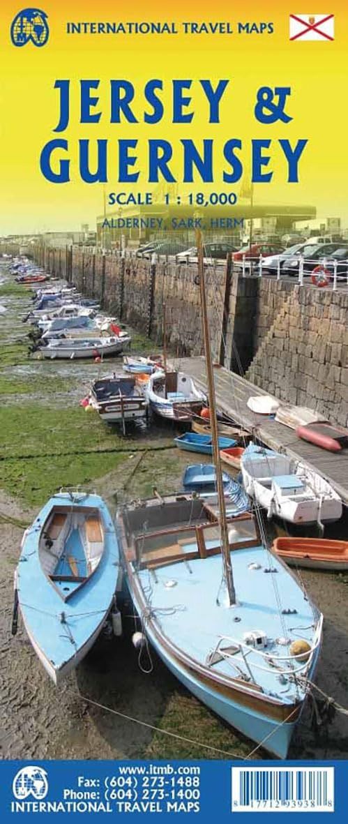
Jersey & Guernsey| ITMB 2024
$28
Price incl. GST (15%) $3.65
In stock: 1 available
Product Details
Brand: ITMB
The islands, collectively known in English as the Channel Islands, are one of those anomalies that make Europe so attractive. They are part of Great Britain, but not part of the UK; hence, they are not part of the EU. They are self-governing entities ‘owned’ by the Queen in her role of being Duchess of Normandy.
This is, of course, merely a hereditary situation, but the islands were the personal possessions of William the Conqueror in 1066, at the time he led Norman forces into Britain and won the Battle of Hastings. They remained his personal possessions and have been passed on from monarch to monarch for more than 950 years.
Location and History
Located just off the French coast, not too far from St. Malo, the islands were occupied by German forces during WW2. Today, they are readily accessible by ferry or airplane from both France and Britain. There are actually five inhabited islands:
- Jersey
- Guernsey
- Alderney
- Sark
- Herm
Ferries link the islands, and tourism is a major activity alongside banking.
Exploring Jersey
Most visitors arrive on Jersey, which on this map occupies an entire side. Key features of the island include:
- The airport, located near the western end of the island.
- Ferry arrivals at St. Helier.
- Plentiful accommodations and car rentals, which are the best way to explore the island.
- The map highlights all touristic attractions, roads, and rural restaurants/pubs.
Exploring Guernsey and the Other Islands
The reverse side of the map is dominated by Guernsey and its historic main town, St. Pete Port. The map also includes:
- Generous inset maps of Alderney and Sark due to the shape of the island.
- Tiny Herm, which is included in the main map.
Save this product for later
Jersey & Guernsey| ITMB 2024
Display prices in:NZD
