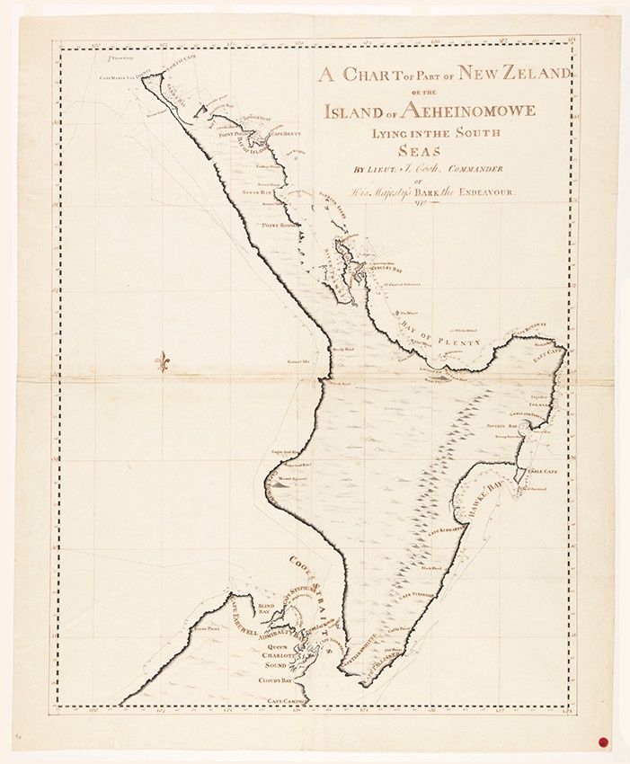
James Cook - Copy of 1770 Chart. North Island
$30.43
Finish
Please choose
In stock: 1 available
Product details
Printed Copy of the Island or Aeheinomouwe - Print size 27cm x 37cm
Lieutenant James Cook drafted the first complete and remarkably accurate chart of New Zealand's coastline in 1770. Titled A chart of Newzeland or the islands of Aeheinomouwe and Tovypoenammu lying in the South Sea, it identified the North Island as "Aeheinomouwe" (Te Ika-a-Māui).
Cook circumnavigated and mapped the entire country during his first voyage on the HMS Endeavour. While his chart is highly precise, it contained a few famous mapping quirks:
Key Features of Cook's Chart:
-
Aeheinomouwe (North Island):
The most heavily surveyed and densely named section of the chart, particularly along the northeast coast. -
Banks Peninsula:
Mapped as an island, as Cook could not discern that it was connected to the mainland. -
Stewart Island:
Depicted merely as a peninsula (Cape South), connected to the South Island.
James Cook - Copy of 1770 Chart. North Island
Display prices in:NZD
