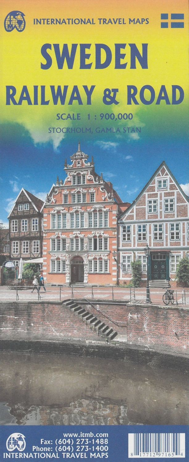
ITMB Sweden, Railway & Road
$25
Sold out
Sold out
Product Details
Brand: ITMB
Sweden Road map published by ITM. This map is double - sided, with the northern part of Sweden and on the back, the southern part.
The map highlights roads, urban areas, attractions, airports, points of View, ferry routes, castles. Road information are very clearly displayed, with highways in blue, roads divided into green, the main highways in orange and secondary roads in red. The Copenhagen bridge is illustrated as well as access roads across Denmark.
Index of cities included.
1/900 000 scale (1 cm = 9 km).
Save this product for later
ITMB Sweden, Railway & Road
Display prices in:NZD

