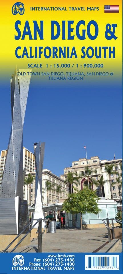
ITMB San Diego & California South
$25
In stock: 2 available
Product Details
Brand: ITMB
Detailed plan of San Diego (with a public transport plan and a street index) on the front. On the back, map of southwestern United States covering the area south of Las Vegas (San Diego included) and including the entire Mexican border to Ciudad Juarez east. Detailed map published by ITM in 2013. Indication of national parks. Main distances shown on the map.
1/15,000 (1 cm = 150 m) & 1/920,000 (1 cm = 9.2 km)
Save this product for later
ITMB San Diego & California South
Display prices in:NZD

