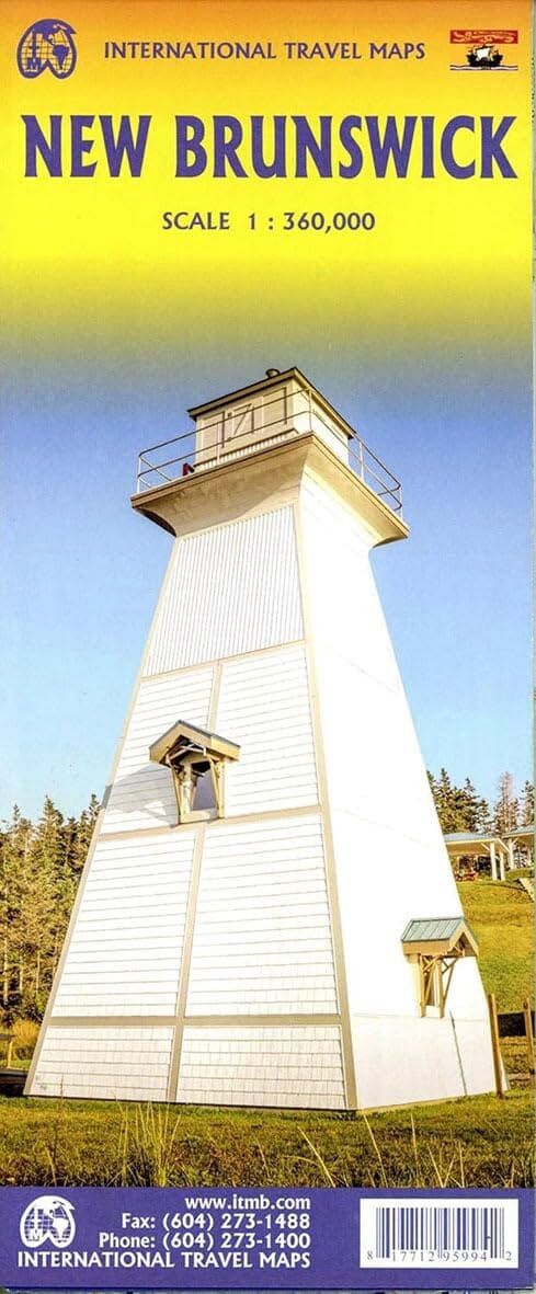
ITMB New Brunswick
$25
In stock: 1 available
Product Details
Brand: ITMB
The map divides New Brunswick into two north/south sections, with generous overlap between the two sides for smooth reading.
It states precisely:
Roads , railways and ferry connections
Border crossings to the US state of Maine
Visitor reception centers , clearly marked
Many symbols also help to identify:
National and provincial parks, as well as protected areas
Historical sites , museums , ski resorts
Fishing areas , golf courses , etc.
1/360,000 (1 cm = 3.6 km)
Save this product for later
ITMB New Brunswick
Display prices in:NZD

