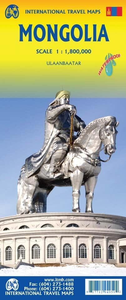
ITMB Mongolia
$25
Sold out
Sold out
Product Details
Brand: ITMB
Waterproof road map of Mongolia published by ITM. This detailed map shows, inset, the plan of the center of the capital Ulaanbaatar. Relief mapping and index of cities included.
Scale 1/1,800,000 (1 cm = 18 km).
The legend includes:
Roads by classification (motorways, main and secondary roads), regional boundaries, cities, natural landmarks, airports, museums, gas stations, medical centers, hotels, border crossings etc.
Save this product for later
ITMB Mongolia
Display prices in:NZD

