ITMB Mississippi
$25
In stock: 2 available
Product Details
Brand: ITMB
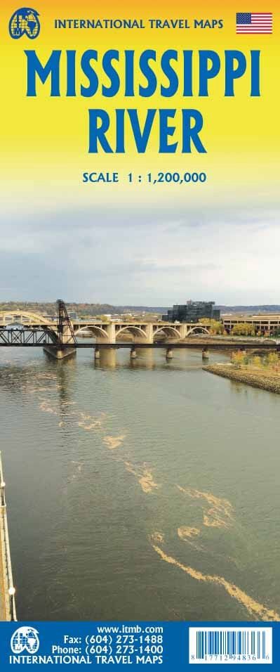
Map of the Mississippi River published by ITM. Terrain mapping, points of interest, campsites, etc.
Starting from its delta at New Orleans, the front of the map covers the states of Louisiana, Mississippi, and Arkansas to Memphis and St. Louis, where it intersects Route 66.
The back continues north through Illinois, Iowa, Wisconsin, and Minnesota to Minneapolis and its origins near Grand Rapids.
1 / 1,200,000 (1cm = 12km)
Save this product for later
ITMB Mississippi
Display prices in:NZD

