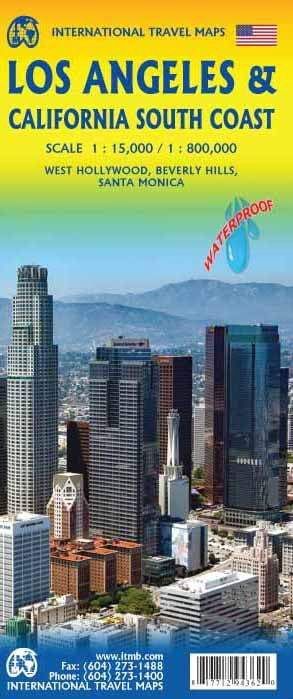
ITMB Los Angeles & California South Coast
$25
In stock: 2 available
Product Details
Brand: ITMB
Detailed plan of Los Angeles on a 1 / 15,000 scale (1 cm = 150 m) on the front. On the back, Road map of the south coast of California, ranging from San Francisco (north) to the Mexican border (south) and up to Palm Springs in the east. Scale 1/800, 000 (1 cm = 8 km). This map highlights Route 66, the Big on Drive along the coast, and Yosemite in particular. This map is waterproof.
Save this product for later
ITMB Los Angeles & California South Coast
Display prices in:NZD

