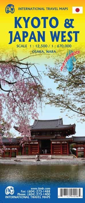
ITMB Kyoto & Japan West
$25
Sold out
Sold out
Product Details
Brand: ITMB
Great Kyoto Plan (scale 1/12,500) with a street index, published by ITM. In inset, a plan of the Kyoto agglomeration, plus a metro plan. On the back, a map of the western part of Japan (scale 1/670 000) with a cities index. Relief mapping. Tourist information is identified using symbols: museums, religious buildings, police stations, department stores, shopping streets, road stations, hiking trails, hospitals ...
Legend is in French and English for the city map, in English and Japanese for the Road map. The place names are only indicated in Latin alphabet.
Save this product for later
ITMB Kyoto & Japan West
Display prices in:NZD

