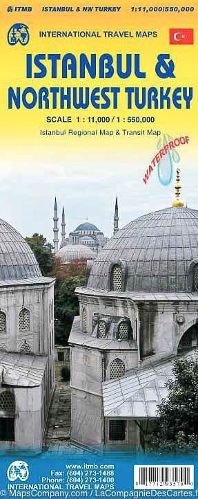
ITMB Istanbul & Northwest Turkey
$24.90
Price incl. GST (15%) $3.25
In stock: 1 available
Product Details
Brand: ITMB
High detailed map Istanbul published by ITM with a street index (plus a public transport plan). On the back, Road map of Northwestern Turkey with ferry lines through the Bosphorus, major tourist sites. This map extends from Greek and Bulgarian borders to cannakele south and eDremit, and to the east until Bolu. Mapping the relief and indication of the main distances. Index of cities included. Detailed waterproof and tearing resistant map. Scale 1 / 11,000 (1 cm = 110 m) & amp 1 / 550,000 (1 cm = 5.5 km).
Save this product for later
ITMB Istanbul & Northwest Turkey
Display prices in:NZD

