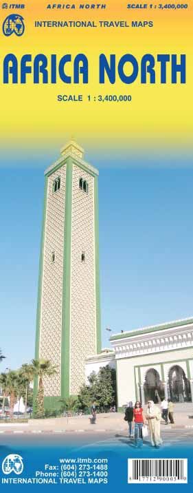
ITMB Africa North
$25
Price incl. GST (15%) $3.26
In stock: 1 available
Product Details
Brand: ITMB
Map of North Africa published by ITM. This map, scale 1: 3 400 000 (1 cm = 34 km) covers the entire Mediterranean coast of Morocco at the eastern end of Egypt: Morocco, Algeria, Tunisia, Libya, Egypt, the more the North of Mauritania. This map of North Africa indicates the road network of these regions, including the desert tracks, with distances marked on the main roads. Index of cities included.
Save this product for later
ITMB Africa North
Display prices in:NZD

