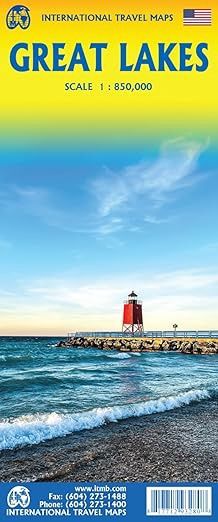
Great Lakes | ITMB 2025
$28
Price incl. GST (15%) $3.65
In stock: 1 available
Product Details
Brand: ITMB
To North Americans, there is only one “Great Lakes” – the waterway stretching far into the interior of the continent from the Gulf of St. Lawrence to the tip of Lake Superior. This vast region has exerted a fundamental hold on the development of both the USA and Canada:
- First as a canoeing trade route for trapping furs,
- Then as a means of settlement,
- And now as a water route to move products to world markets.
The region is also densely populated with well-known touristic cities and attractions, housing in excess of 100,000,000 people.
Unique Features of the Map
Surprisingly, until now, there has never been a map for this interesting and historic part of the continent. With this map, you can:
- Explore Lakes Ontario and Erie as circular routes, as well as Huron and Superior.
- Visit major cities such as Ottawa, Toronto, Chicago, and Duluth.
- Discover landmarks like Fort William or the Wawa Goose.
Coverage and Details
This double-sided map covers:
- From Ottawa in the north to Pittsburgh and Columbus in the south.
- From Duluth and Thunder Bay in the west.
- Both Canada and USA portions of the Great Lakes Region.
Additional Highlights
- Admire the landscape of 12 lakes in this area.
- Plan your canoe circuit along the waters.
- Features include:
- Mountain ranges
- Roads
- Multiple trails for hiking, horseback riding, canoeing, and skiing.
Save this product for later
Great Lakes | ITMB 2025
Display prices in:NZD
