Marlborough Sounds Wall Map · Geographx
$30
Price incl. GST (15%) $3.91
Finish
Please choose
In stock: 48 available
Product Details
Brand: Geographx
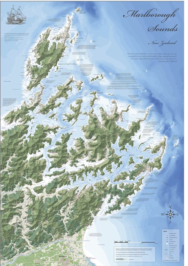
The Marlborough Sounds Geographx Map is a premium, award-winning wall map celebrated for its striking cartographic design and 3D visual relief. This highly detailed geographic overview captures the entire network of drowned river valleys, stretching from Stephens Cape down to Blenheim.
Key Features & Specifications
-
Design Recognition:
The map was famously featured in the North American Cartographic Information Society's NACIS Atlas of Design Vol 1 for its artistic merit. -
Dimensions:
Standardly sized at 690mm x 990mm, making it ideal for visual display. -
Visual Style:
Combines detailed topographic and bathymetric data to provide a 3D-like perspective of the intricate South Island coastline.
Save this product for later
Marlborough Sounds Wall Map · Geographx
Display prices in:NZD
