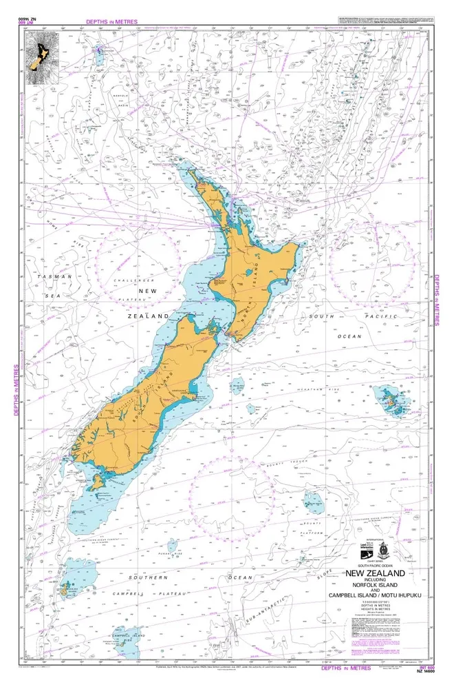
Genuine NZ 14600 Small-Scale Sea Chart (July 2007 Print) - 1100x720mm
$17.39
In stock: 4 available
Product details
Genuine, large-format NZ 14600 (INT 600) Hydrographic Sea Chart, specifically the highly sought-after July 2007 Edition. Published by the Hydrographer of the Royal New Zealand Navy, this small-scale chart (1:3,500,000) beautifully details the vast waters of New Zealand, including Norfolk Island and Campbell Island / Motu Ihupuku.
This iconic 2007 printing served as the primary offshore reference map for nearly two decades before being officially superseded by LINZ in late 2023. It makes for an incredible historical artifact, framing project, or rustic decor piece.
Item Details
- Chart Number: NZ 14600 / INT 600
- Edition Date: July 2007
- Publisher: Royal New Zealand Navy / Land Information New Zealand (LINZ)
- Scale: 1:3,500,000
- Dimensions: Approx. 1100mm x 720mm (Large Format)
Genuine NZ 14600 Small-Scale Sea Chart (July 2007 Print) - 1100x720mm
Display prices in:NZD
