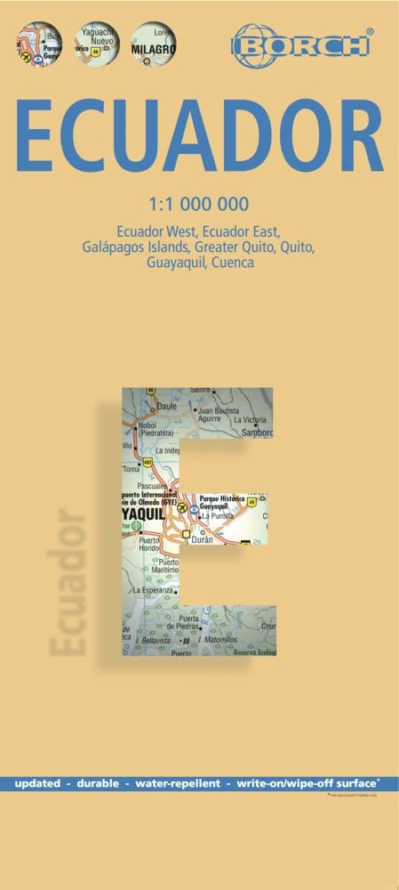
Ecuador | Borch
$28
Price incl. GST (15%) $3.65
In stock: 1 available
Product Details
Brand: Borch
- WRITE ON & WIPE OFF WITH DRY ERASE MARKERS
- BIODEGRADABLE LAMINATION
- PATENTED FOLD IS EASY TO USE
This folded road and travel map is presented in full color and at a scale of 1:1,000,000, making it ideal for navigating Ecuador. It distinguishes between various types of roads, ranging from expressways to country lanes, ensuring clarity and ease of use.
Features Included:
- Road distinctions: From expressways to country lanes.
- Legend highlights:
- Paths, sights, museums, monuments, churches, and chapels.
- Antique/ancient sites, caves, beaches, and shipwrecks.
- Snorkeling/scuba diving sites, mines, and golf courses.
- Bus stations, gas stations, and checkpoints.
- International airports, airfields, and mountain passes.
- Lodges, national parks, nature reserves, hotels, and markets.
Inset Maps:
- Galapagos Islands: Scale 1:1,300,000
- Greater Quito: Scale 1:100,000
- Quito: Scale 1:20,000
- Guayaquil: Scale 1:18,000
- Cuenca: Scale 1:17,000
- Ingapirca: Scale 1:8,000
Additionally, climate charts are included, providing information on average daily temperatures, humidity, hours of sunshine, and precipitation for each month.
Save this product for later
Ecuador | Borch
Display prices in:NZD
