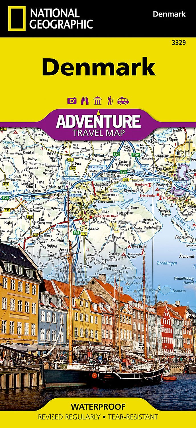
Denmark Map · Nat Geo
$35
Price incl. GST (15%) $4.57
In stock: 1 available
Product details
- Waterproof • Tear-Resistant • Travel Map
Explore Denmark's more than 100 islands, the largest of which are connected by a series of long bridges and tunnels, with National Geographic's Denmark Adventure Map. Designed to meet the needs of adventure travelers, this map offers detailed and accurate information, including:
- Locations of cities and towns, complete with a user-friendly index.
- A clearly marked road network with distances and designations for motorways, major routes, and roads.
- Side roads and tracks for those looking to explore off the beaten path.
Additionally, the map highlights hundreds of points of interest, such as:
- National parks and reserves.
- Wildlife parks.
- World Heritage sites.
- Archeological sites.
Essential travel aids like airports, airfields, railroads, ferry routes, and lighthouses are also included, ensuring a seamless travel experience.
Map Details
- Front Side: Displays the northern half of the Jutland peninsula and North Jutlandic Island, which became an island after a storm in the 1800s.
- Reverse Side: Covers the southern half of Denmark, including the large interconnected islands of Fyn, Zealand, and Falster, along with many smaller islands.
Wherever your destination, this expertly crafted map is the perfect companion to a guidebook, helping you make the most of your trip.
Every Adventure Map is printed on durable synthetic paper, making it waterproof, tear-resistant, and tough — capable of withstanding the rigors of international travel.
Denmark Map · Nat Geo
Display prices in:NZD
