Cook Strait Wall Map · Geographx
$10
Price incl. GST (15%) $1.30
Finish
Please choose
In stock: 1 available
Product Details
Brand: Geographx
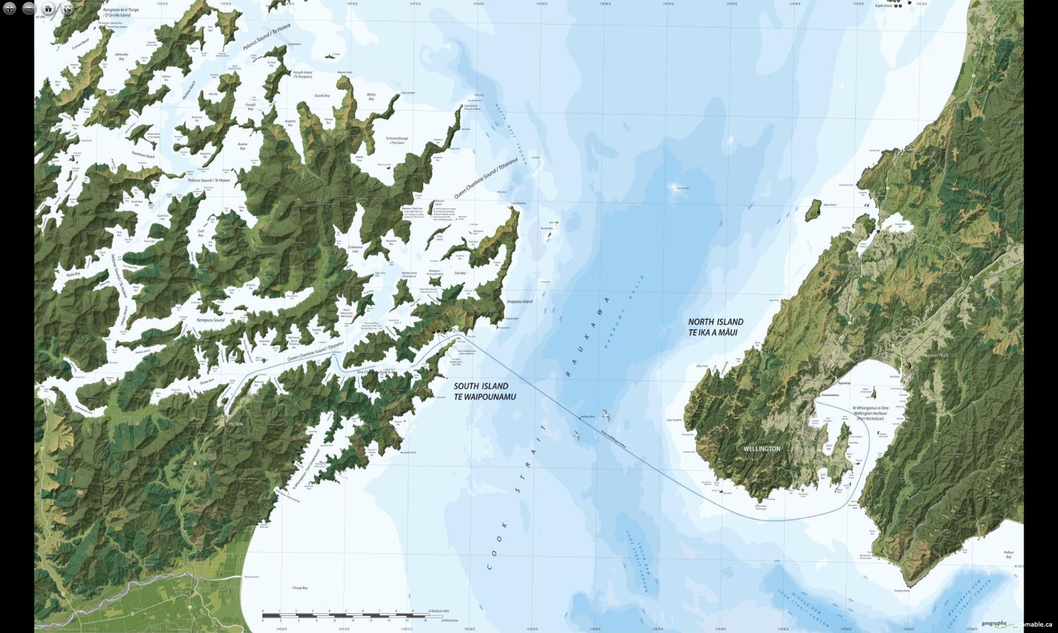
The Cook Strait Wall Map · Geographx map is a premium, high-density wall map that beautifully captures the stunning maritime topography separating New Zealand's North and South Islands. Renowned for its artistic, 3D-style cartographic visualization, this map highlights:
- Complex coastal features, showcasing the intricate details of the region.
- The Marlborough Sounds, a breathtaking natural wonder.
- The capital city of Wellington, adding a geographic and cultural focal point.
Key Details:
- Dimensions: Standard print sizes measure 70cm x 42cm.
This map is a perfect addition to any space, offering a blend of functionality and aesthetic appeal.
Save this product for later
Cook Strait Wall Map · Geographx
Display prices in:NZD
