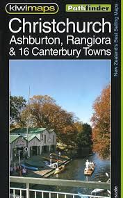
Christchurch & Canterbury Towns Map · Kiwimaps
$15
Price incl. GST (15%) $1.96
Format
Please choose
Finish
Please choose
In stock: 4 available
Product details
The Kiwimaps Christchurch, Ashburton, Rangiora & Canterbury Towns map (commonly known as the Pathfinder Map 105) is a road and street sheet map published by Kiwimaps.
Map Features and Details
- Scale: Main Christchurch and outer suburbs map is at a 1:25,000 scale (with a city centre enlargement at 1:10,000).
- Coverage: Indexed street plans and road details covering Christchurch, Ashburton, Rangiora, and 16 other surrounding Canterbury towns.
- Included Insets & Enlargements:
- Christchurch city centre, Christchurch International Airport, and the University of Canterbury campus.
- Individual panels and indexed plans for towns including Ashburton (with a town centre enlargement), Rakaia, Kaiapoi, Tai Tapu, Akaroa, Rolleston, Lincoln, Sefton, Woodend, Lyttelton, Governors Bay, and Diamond Harbour
Christchurch & Canterbury Towns Map · Kiwimaps
Display prices in:NZD