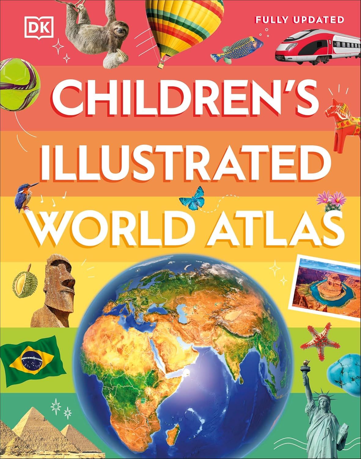
Children's Illustrated World Atlas · DK
$40
Sold out
Price incl. GST (15%) $5.22
Take a trip across the globe with this illustrated world atlas.
Sold out
Product details
This stunning atlas takes the young reader on the ultimate round-the-world trip.
From the frozen Arctic to the blazing hot deserts of the Sahara, and Bangkok's floating markets to the carnival in Venice, the Children's Illustrated World Atlas brings together views from windows all over the world.
This illustrated atlas not only portrays regions, such as the Siberian tundra, with beautifully detailed maps but also describes the peoples who live there. Fascinating facts, local stories, vivid pictures, and clear, satellite-based maps together make this atlas a global yet personal experience.
Children's Illustrated World Atlas · DK
Display prices in:NZD